Even the smartest of smart cities will never be immune to situations like a good old-fashioned snow storm.
Or a hurricane.
Or even a terrorist attack.
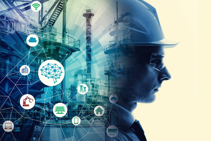
While advanced technology may not be able to eliminate threats like natural disasters and emergencies, it may be able to help better coordinate responses to these events and protect smart city dwellers. That’s the concept that researchers are looking to test in Ontario: can data collected from our everyday devices ultimately save lives?
The team proposes crowd sensing, which involves leveraging real-time data from sensors and devices to inform strategic courses of action. For example, Google Maps provides GPS arrival-time approximations with this technology by taking anonymous information from active drivers.
Until now, crowd sensing has never been implemented to facilitate large-scale crises. If actualized, first responders could gain invaluable information regarding the site of a crisis, such as how many people are in a crowd, where the threat is coming from, and which pathways are blocked. This emergency response system proposal includes data collection, communication and analytics to efficiently combat a crisis.
To begin, the process starts by collecting relevant data. Currently, systems have adopted a collect-and-report model that aimlessly pulls in information regardless of its quality or value. For instance, someone could post an image on social media claiming to be a picture of an ensuing hurricane, when rather it is a picture of a past disaster. This would provide emergency responders, and the community, with inaccurate information. That’s where Quality of Data comes in.
In any given situation, there could potentially be thousands of devices in one area (smart phones, vehicles, wearables, sensors, etc.) identified by various attributes (location, functional capacity, reputation, energy consumption, etc.). With this in mind, the researchers propose a Quality of Data model that cross-references information and filters data to prioritize only the most trusted resources and relevant statistics through a value-attribution model.
“With crowd sensing, you can have information coming from all different types of sources including vehicles, hand-held devices, municipalities, field sensors, etc.,” explained Hossam Hassanein, researcher at Queen’s University. “And, when you have 100,000 people and dozens of different sensors within a couple of blocks trying to navigate, say, a fire, all the information coming in from those devices needs to be managed in the most comprehensive and accurate way. There’s no room for error when it comes to life safety.”
Following the collection of data, the communication process begins. In the following example, the researchers have a deployment proposal for the province of Ontario and are engaging weather networks to collaborate with first responders.
Weather networks can provide precise information for making predictions during situations such as tornadoes or hurricanes. Similar to the image below, sensors in windshield wipers can provide emergency responders indicators of flash flooding, such as where it’s happening and how much it’s raining. Agriculture sensors could also be used to determine wind speed and direction.
As the windshield wipers and agriculture sensors compile relevant data, a special mode could automatically trigger for communicating information immediately. Theoretically, the system would provide information to drivers and pedestrians to actively guide them out of, and away from, the dangerous situation. At the same time, it would alert emergency responders of the current situation and what they will be encountering upon arrival.

Emergency response system interactions and workflow
But the question becomes, how do you relay this information? The researchers recognize various options including an app automatically installed on a smartphone when purchased, or integration with Google Maps – an application that many smart device users already have.
Once a threat has been communicated, the analytics portion of the system will continue to closely track the situation and the deployed emergency services. Since incidents such as natural disasters are characterized by unstable network connectivity, it is crucial for an emergency response system to be able to withstand this unpredictability. Therefore, the researchers propose a robust computing platform, which includes two tiers – a permanent backbone of resources hosted on a private/public cloud and a set of cloudlets that act as proxies for the first-tier cloud. With two supporting tiers, real-time analytics and decision making can be fully supported in the event of an erratic environment.
“This work isn’t about a new way to report data, but rather, finding new ways to make sense of the data for identifying and mitigating life-threatening issues” says Hassanein. “We’re trying to eliminate confusion.”
This comprehensive, precise, trustworthy and real-time emergency management system is inching us closer and closer towards the ultimate smart, and safe, city experience.
Learn more about crowd sensing on IEEE Xplore.